
Eye in the Sky
Share on social
An innovative new project combining state-of-the-art monitoring methods with citizen science will provide a picture of the changing landscape of ‘Living Wales’, helping improve environmental decision making. Brook Woodman reports.
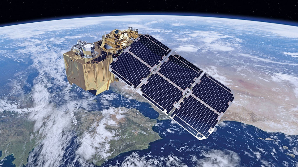
Do you check the weather forecast in the morning, or use GoogleMaps to plot your course to your next destination? If so, then you’re already a part of the exciting world of remote sensing. Remote sensing is the process of deriving useful information about what is happening on Earth from data collected from afar, primarily by instruments on board satellites or aircraft.
Using the different properties of electromagnetic waves, sensors are able to gather a wealth of information on the Earth’s surface, such as the temperature of the land and sea, the amount, type and dynamics of vegetation, and the intensity of flooding and storms.
These ‘eyes in the sky’ give us unprecedented insights into the physical, chemical and biological states and dynamics of our landscapes, and can allow us to make much more informed decisions when it comes to land management, nature conservation, urban planning and many other fields.
Satellite snapshots
All areas of the globe now see satellites passing overhead several times a day. This gives us an incredible collection of snapshots of our planet and enables us to look back through time at the changes that have taken place and those that are still ongoing, allowing us to look to the future and make predictions of what is to come. These insights are becoming crucial for effective and sustainable policy and management decisions, particularly in relation to the environment.
Our ever-growing computing capacity enables us to automate many processes that, until recently, were still painstakingly slow and often manual. Maps that would previously have taken weeks to create can now be drawn up within minutes. What’s more, routine and regular production of these maps opens the possibility for automated detection and alerting of changes that might otherwise have been overlooked.
The University of Aberystwyth, supported by the European Regional Development Fund (ERDF) Sêr Cymru II programme and Welsh Government, is moving to harness the potential of these remote sensing data and is developing stateof-the-art systems to automatically process, store and access the data and derived products. They plan on making this wealth of information publicly available for the benefit of Wales and other countries.
Ground-level verification
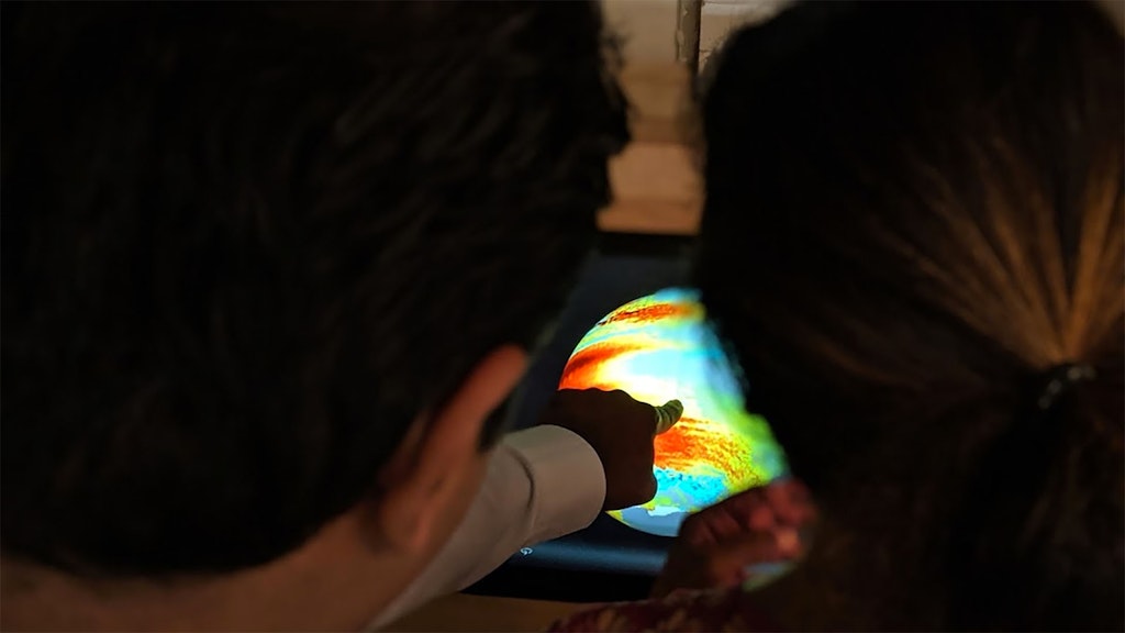
Whilst our technological advances are providing us with an enormous amount of remote sensing data, it is imperative to verify that the information produced is reliable when compared to what we see on the ground. For this purpose, the Living Wales team has developed a Mobile App, which allows for near real time collection of ground level information. These data give a reality check on the national land cover classification and change maps being produced through Living Wales. The Mobile App and the data collected are also being made available to allow people across Wales to contribute to the production of the maps and provide feedback.
The maps generated from remote sensing data are being made available to increase interest and raise awareness of the events and processes that are shaping the landscape of Wales. The information provided is also intended to support national efforts towards increasing the prosperity, sustainability and resilience of Wales.
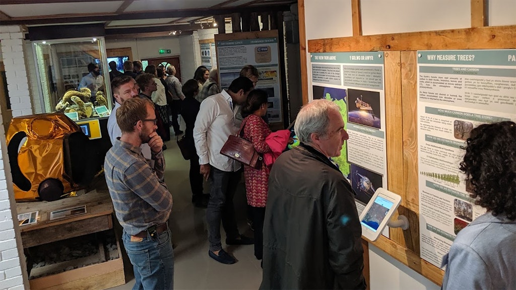
New exhibition at CAT
In collaboration with Aberystwyth University, CAT is opening a Living Wales Exhibition Centre to highlight the importance of the Living Wales project. The Centre will showcase the range of remote sensing data acquired over Wales, looking at how these can be used to address current and future issues, including responding to climate change, conserving biodiversity, optimising rural economies and promoting the wellbeing of current and future generations.
Visitors of all ages will be able to take part in data collection and use the remote sensing data. In doing so, they will learn how they can actively contribute to the future of the Wales and the global environment.
About the author
Brook Woodman is an MSc student in Environmental Management, particularly interested in the uses of remote sensing for sustainable development. His search for impactful work has led him to CAT, where he is currently on a placement, working in collaboration with the University of Aberystwyth on implementing the Living Wales project.


